Más Información

Violencia en Jalisco tras muerte de "El Mencho" deja 25 detenidos; saquean 69 tiendas Oxxo y dañan 18 sucursales del Banco del Bienestar

"El Mencho", una década bajo acecho en México; el líder del CJNG fue localizado en cinco ocasiones y logró huir

Sheinbaum llama a la calma tras bloqueos por muerte de "El Mencho"; destaca coordinación con los estados
Researchers at the Institute of Geophysics ( Instituto de Geofísica abbreviated IG ) of the National Autonomous University of Mexico ( Universidad Nacional Autónoma de México abbreviated UNAM ) are generating digital maps seeking to obtain data on the physical conditions of the Gulf of Mexico .
These maps detail the seabed in the region providing geological information of economic and environmental importance prior to oil extraction.
The Mexican Research Consortium for the Gulf of Mexico Project ( Consorcio de Investigación del Golfo de México abbreviated CIGoM ) is the largest and most ambitious oceanographic project in the country.
"This project aims to get hydroacoustic information from the seabed to identify the relief forms at higher depths, from the continental platform to the abyssal plain," explained Carlos Mortera Gutiérrez , who heads a subproject on the line of action one, which obtains data of the oceanic basin.
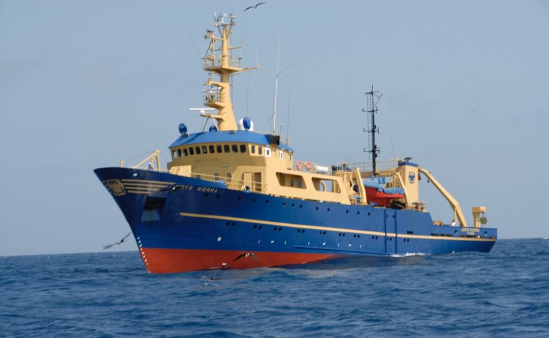
The project develops a digital terrain model, at a desirable resolution, with the capacity of the Justo Sierra UNAM oceanographic vessel by bathymetric techniques (in the same way that topographic maps represent the three-dimensional features of overland terrain, bathymetric maps illustrate the land that lies underwater while analyzing the beds or floors of water bodies).
It is intended as well to know which points can represent a risk for the oil industry's new infrastructures in deep waters.
CIGoM was established to define the Mexican baseline for the present-state of the greater ecosystem of the Gulf of Mexico, which will serve as a reference for future natural and anthropogenic threats and it is the largest research project funded by Mexico's National Council of Science and Technology ( Consejo Nacional de Ciencia y Tecnología abbreviated Conacyt ) and by Mexico’s Ministry of Energy ( Secretaría de Energía abbreviated Sener ).
sg
Noticias según tus intereses
[Publicidad]
[Publicidad]


